Busselton
At the northern reaches of the region lies the city of Busselton. Busselton is home to one of Australia’s longest piers, the 19th-century wooden Busselton Jetty stretches nearly 2km into the relative calm waters of Geographe Bay.
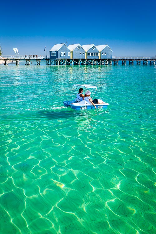 69587 The 2km long Busselton Jetty
Cape Naturaliste
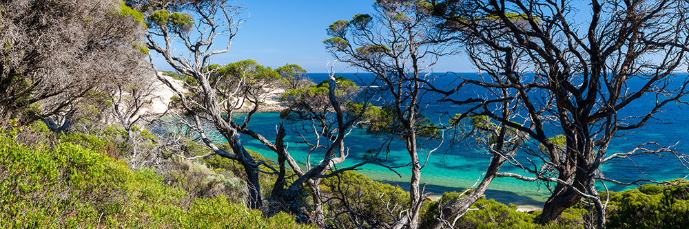
Cape Naturaliste separates the more sheltered waters of Geographe Bay from the wilds of the Southern Indian Ocean. Protected bays and beaches to the east of the cape include Bunker Bay and Meelup Beach.
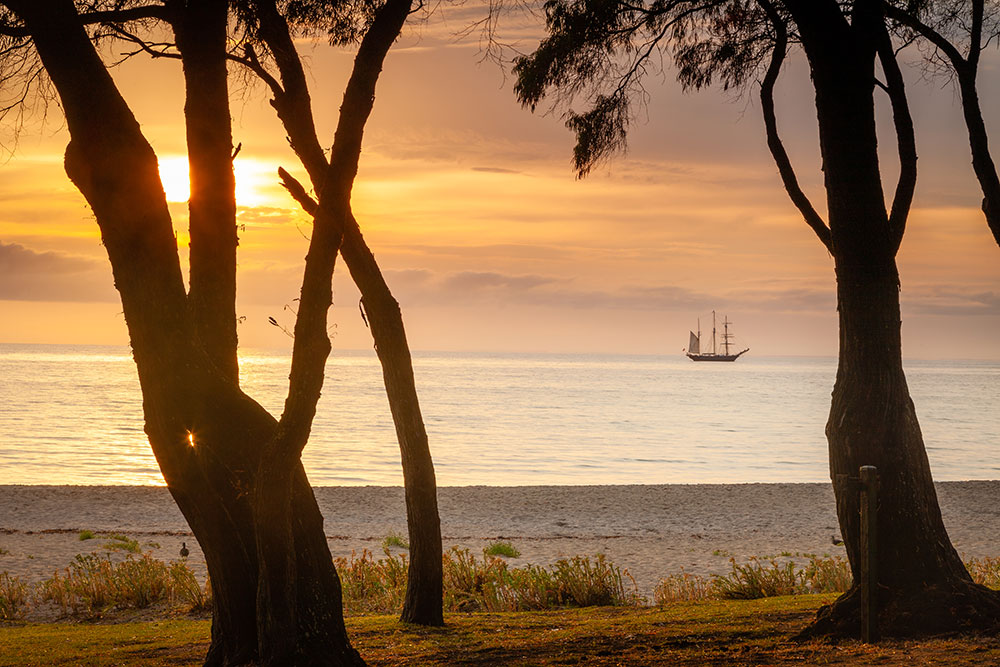 69598 Sailing ship moored off Meelup Beach
 66833 Bunker Bay
The more rugged western coastline is easily accessible via road and the Cape-to-Cape track that reaches the coast at Sugarloaf Rock.
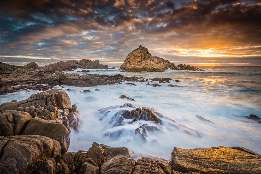 67473 Sugarloaf Rock
West Coast
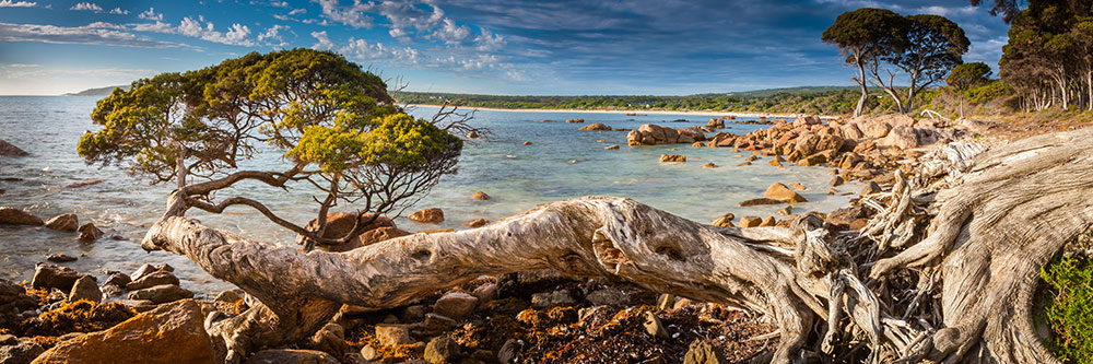
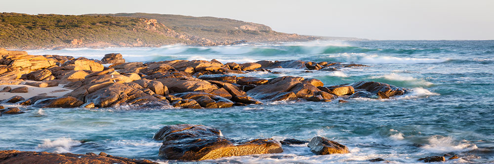
The western coastline of Margaret River boarders the Indian Ocean and is dotted with great surfing beaches, dune-scapes, and rugged sea cliffs.
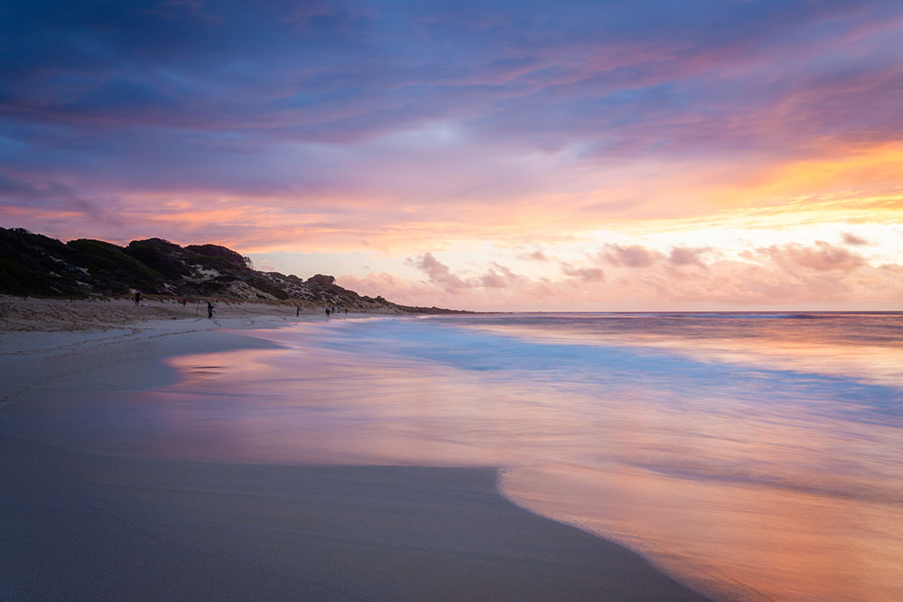 69597 Yallingup Beach Sunset
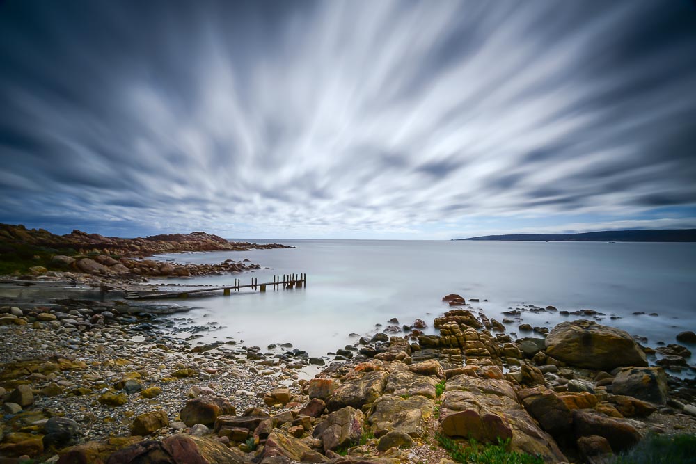 71232 Canal Rocks Jetty
Heading south from the cape the beach at Yallingup is a great place to spend a few hours. Canal Rocks and the white dunes of Injidup Point are interesting place to visit, don’t miss the natural rock spa down on Injidup beach.
 31448 Injidup Bay
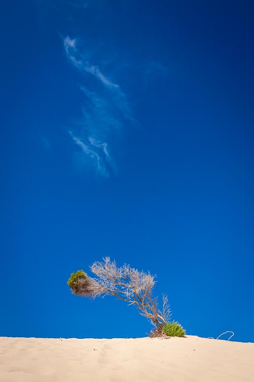 69591 Injidup Lone Tree
Margaret River’s most iconic surf break is at Surfer’s point. It’s now home to the Margaret River Pro and Margaret River Surf Classic.
 31428 Redgate Beach
Boranup Forest
Cave Road winds its way down the coast of the Margaret River region. Some 25 mins south of the town itself you’ll find the amazing sight of towering Karri trees that is Boranup Forest. Reaching heights of over 60m, these giants aren’t to be missed.
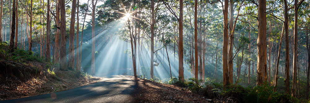 31430 Boranup Forest, Sun Burst
Photographing the forest is as easy as pulling up at the side of the road and grabbing a few shots. One bend in the road, affectionally know by locals as ‘Kodak Corner’, offers one of the best viewing spots, you can’t miss it!
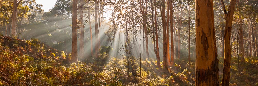 31429 Magnificent Kari
Also don’t miss the off-road Boranup drive that takes you right through the heart of the Karri Forest and onto some great lookouts and camping spots.
Cape Leeuwin
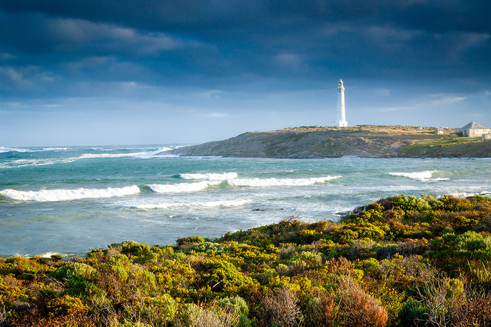
Cape Leeuwin stands on the on the extreme southwest point of Australia where the Indian and Southern Oceans meet. The cape was named by Matthew Flinders on December 7, 1801, at the commencement of his circumnavigation of Australia.
 69583 Cape Leeuwin Lighthouse
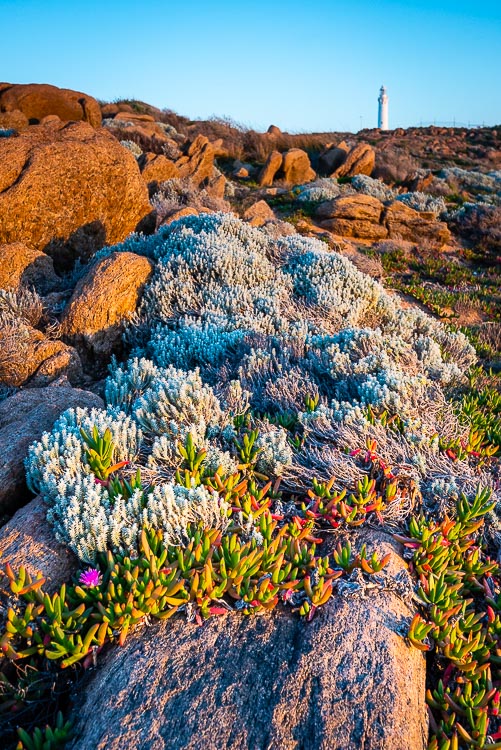 71235 Cape Leeuwin Flowers
To protect shipping in the turbulent seas off the point, Cape Leeuwin Lighthouse, the tallest lighthouse in Australia, was opened in 1896.